
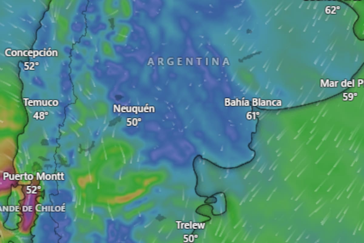
The National Meteorological Service (SMN) sounded the alarm this Friday, July 17, with a series of orange and yellow alerts covering fifteen provinces. Snow, rain, Zonda wind, and storms combine in a climatic cocktail that promises to complicate life for thousands of Argentines. The agency warns that these are “dangerous meteorological phenomena for society, life, property, and the environment.”
The orange alert for snow is the most severe and affects southern Chubut, northern Santa Cruz, and the mountainous areas of San Juan, San Luis, Mendoza, and Neuquén. In these regions, accumulated snow could reach between 40 and 60 centimeters, with possible higher peaks in specific spots. Authorities warn of the possibility of whiteout conditions in high elevations, drastically reducing visibility. In lower areas, a mix of rain and snow is not ruled out, a slippery combination that complicates traffic.
Given this scenario, the SMN recommends not going out unless absolutely necessary, and if doing so, only with vehicles prepared for ice and snow. They also ask to ventilate rooms to avoid carbon monoxide buildup and to have an emergency kit on hand with food, water, flashlights, and a first aid kit.
On the other hand, the yellow alert for storms applies to the far east of Buenos Aires province, where heavy rains with accumulations of 10 to 20 millimeters are expected. In higher areas, snow or sleet may fall. The agency suggests avoiding going out, not taking out trash, cleaning drains, and staying away from flood-prone areas.
Wind will also be a protagonist. The orange alert for strong winds affects Salta, Jujuy, Santiago del Estero, and the mountainous areas of Mendoza, San Juan, and La Rioja. West winds with speeds between 60 and 80 km/h are expected, with gusts that could reach 100 km/h in the mountains. This can cause reduced visibility and danger to structures. The SMN advises securing loose objects, not taking shelter under trees or signs, and driving with extreme caution.
Additionally, there is a yellow wind alert for Corrientes, Misiones, Chaco, and Formosa, while the Zonda wind will be felt in central Tucumán, Salta, and Jujuy. Gusts between 30 and 45 km/h, with peaks of 60 km/h, can cause a sudden temperature rise and low humidity. It is recommended to close doors and windows to prevent dust entry, wear glasses and masks, and not light fires.
In Buenos Aires City, the thermometer will range between 18 and 23 degrees, with cloudy skies and a 70% chance of rain and electrical activity. Winds will blow up to 22 km/h. For Saturday, a slight temperature drop and continued showers are expected.
In Buenos Aires province, the low will be 8 degrees and the high 16, with mostly cloudy skies and sporadic rain. The rest of the country will also feel the harsh weather, with temperatures ranging from -2 degrees in Tierra del Fuego and Santa Cruz to 24 in Catamarca, Chaco, Formosa, Salta, and Santiago del Estero.
The SMN insists on following the instructions of local authorities and not letting your guard down. This Friday, the weather gives no respite and the recommendation is clear: stay home if possible.


Para mí esto huele a cortina de humo del gobierno para que no veamos que los ricos se calientan con calefacción central mientras los laburantes nos congelamos. Alertas naranjas? Choreo! Abajo el capitalismo que nos hunde en la nieve mientras ellos se rien. Basta de privilegios!
Para mí esto es una joda. 60cm de nieve y los zurdos hablando de cambio climático. Yo creo que es culpa de los gobiernos de mierda que votan. ¡Menos verso y más pala, carajo! Firmado: El Gaucho enfurecido.