
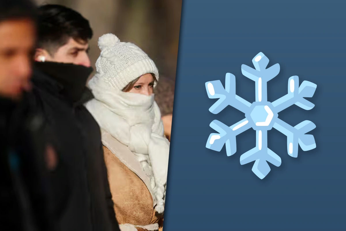
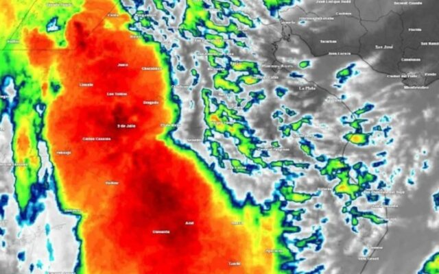
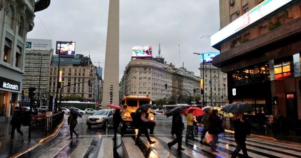
The Buenos Aires Metropolitan Area (AMBA) has left the storms behind, and this Friday, August 7, dawned with clear skies and a low of 5°C, according to the National Meteorological Service (SMN). However, the relief will be temporary: the agency forecasts a stable but cold weekend, and a Monday with the lowest minimum of the week: 3°C.
Forecast for Friday and the weekend
According to the official forecast, today will see a high of 13°C, with north winds and no chance of rain. Saturday will remain clear, with a low of 7°C and a high of 13°C. On Sunday, the low will drop to 4°C and the sky will be mostly cloudy in the morning.
Monday will be the coldest day of the period, with a low of 3°C and partly cloudy skies. On Tuesday, the low will rise slightly to 5°C, and on Wednesday to 6°C, with highs not exceeding 12°C.
Agreements and differences between sources
The two consulted sources agree on the key forecast data for Friday: a low of 5°C, a high of 13°C, clear skies, and no rain. They also concur that Monday will be the coldest day, with a low of 3°C. However, they differ in some details: La Derecha Diario indicates that Saturday’s low will be 7°C, while Crónica does not provide that figure. Additionally, Crónica adds information about wind (13 to 22 km/h) and humidity (around 50%), which does not appear in the other source.
Regarding Sunday, La Derecha Diario mentions a low of 4°C, but Crónica does not specify that value. Both sources agree that no rain is expected during the weekend.
Practical impact on daily life
The return of intense cold will mainly affect people who engage in outdoor activities, construction workers, and those who use public transportation during the early morning. The low of 3°C forecast for Monday could cause discomfort and increase the risk of respiratory diseases, especially in children, the elderly, and people with chronic conditions.
The concrete consequences can be divided into three levels:
- Immediate effects (Friday to Sunday): Sunny but cold days, with a thermal amplitude of up to 9°C. Adequate clothing is recommended, especially during the morning and night.
- Conditional effects (Monday and Tuesday): Lows of 3°C and 5°C could cause frost in suburban areas, affecting urban agriculture and traffic on frost-covered streets. It would also increase demand for gas and electricity for heating.
- Still uncertain effects: It is not possible to determine whether the extreme cold will extend beyond Wednesday, as the long-term forecast is not available in the sources.
Active alerts in other provinces
While the AMBA prepares for the cold, the SMN maintains alerts in several provinces. There is an orange alert for snowfall in sectors of the western mountain range of Neuquén, Río Negro, and Chubut. There is also a yellow alert for strong winds in Neuquén, La Pampa, Mendoza, San Juan, San Luis, Catamarca, La Rioja, Santiago del Estero, Salta, and Jujuy. Additionally, there is a yellow alert for extreme cold in southeastern Santa Cruz, where lows of -3°C are expected in Río Gallegos.
What to follow
It is advisable to pay attention to SMN updates, especially during the weekend, as forecasts may be adjusted. It is also useful to check the daily alert report, especially if you plan to travel to provinces with active alerts. For the AMBA, the key data point is the temperature evolution on Monday, which could be the coldest day of the year so far.
Value module: comparison of lows
To gauge the temperature drop, the forecast lows for the AMBA between Friday and Monday are compared.
- Document: SMN forecast cited by La Derecha Diario and Crónica.
- Agency and date: SMN, forecast for August 7, 2025.
- Unit: Degrees Celsius (°C).
- Values used: Friday low: 5°C; Monday low: 3°C.
- Operation: Difference = 5°C – 3°C = 2°C. Percentage drop = (2/5)*100 = 40%.
This calculation is an estimate based on forecast data and should not be interpreted as a done deal, as actual temperatures may vary.
Fuentes consultadas
El Sereno contrastó las fuentes enlazadas y añadió contexto, comparación o análisis documental. Las fuentes primarias están identificadas. La nota no se presenta como investigación de campo ni como entrevista propia, salvo indicación expresa.

Comentarios