
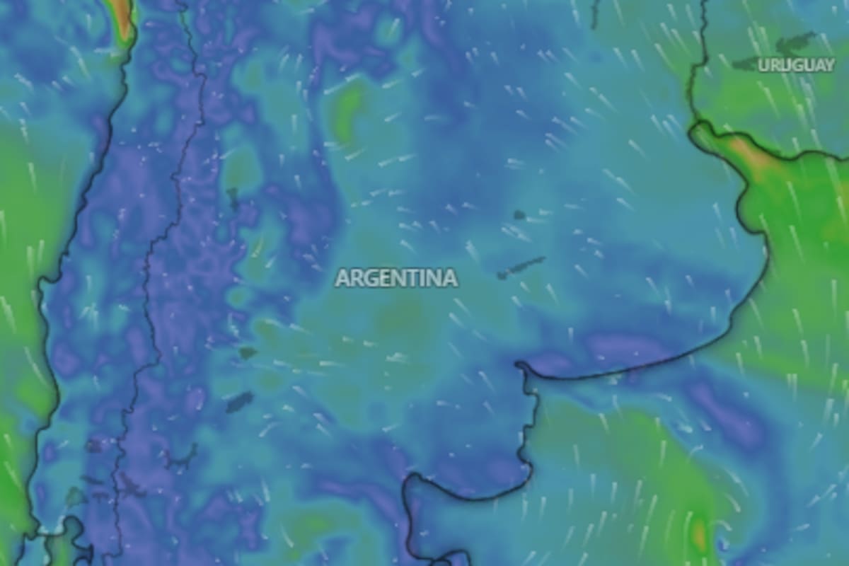
The National Meteorological Service (SMN) raised alarms this Monday, July 20, issuing orange and yellow level alerts for storms, snowfall, rain, intense winds, and Zonda wind affecting 11 Argentine provinces. According to the agency under the Ministry of Defense, some of these phenomena could be «dangerous for society, life, property, and the environment.»
The orange alert for storms will be in effect in Corrientes, where isolated strong storms are expected, some severe, accompanied by intense precipitation in short periods, hail of various sizes, significant electrical activity, and gusts that may exceed 90 kilometers per hour. Accumulated precipitation values will range between 40 and 70 millimeters, with the possibility of being exceeded locally.
There is also an orange alert for snowfall in western Mendoza and southwestern San Juan. In these areas, intense and persistent snowfall is forecast, with accumulations between 100 and 150 centimeters throughout the alert period, which could be exceeded locally. The situation will be accompanied by intense winds, possible whiteout conditions, and reduced visibility.
The yellow alert for storms will affect southeastern Corrientes and Misiones, with isolated storms of varying intensity, some strong or locally severe, which could include intense precipitation, hail, gusts, and electrical activity. Accumulations between 20 and 50 millimeters are expected.
Meanwhile, the yellow alert for snowfall will be in effect in western La Rioja, northwestern San Juan, and a sector of northwestern Mendoza, with accumulations between 30 and 50 centimeters per day. In lower areas, precipitation may fall as snow or sleet, while intense winds could cause whiteout conditions and reduced visibility.
In southern Buenos Aires province and eastern Río Negro, a yellow alert for persistent rain is in effect, with accumulations between 10 and 20 millimeters. Additionally, there is a yellow alert for winds in western San Juan, La Rioja, and Catamarca, as well as in sectors of western Tucumán, Salta, and Jujuy. In the high mountain range, westerly winds of 60 to 80 km/h with gusts up to 100 km/h are expected, which could reduce visibility.
A yellow alert for Zonda wind was also issued for sectors of central Catamarca, western Tucumán, central Salta, and central Jujuy, with speeds between 30 and 45 km/h and gusts that may exceed 70 km/h. This phenomenon can cause a sudden increase in temperatures and very low relative humidity conditions.
The SMN recommends, during storms, to go out only if necessary, stay in closed buildings, stay away from flood-prone areas, and do not enter flooded streets. It also advises unplugging appliances if water enters, securing objects that could be displaced by the wind, and preparing an emergency kit with drinking water, food, flashlight, battery-powered radio, and first aid kit.
In the face of snowfall, it asks to go out only if essential and to drive only with vehicles prepared for ice and snow. It also recommends checking roofs, gutters, and drains, ventilating rooms to avoid carbon monoxide buildup, and having non-perishable food, drinking water, medications, and emergency items.
In the event of rain, the agency advises avoiding going out, not taking out the trash, cleaning drains and sewers, staying away from flood-prone areas, and cutting off the power supply if water enters homes. For strong winds, it is recommended to close doors and windows, remove objects that could be swept away, not take shelter under marquees, signs, trees, or poles, and drive with caution.
For Zonda wind, the SMN advises staying indoors, preventing dust and hot air from entering, securing movable objects, staying hydrated, protecting eyes and nose, driving with caution, and not lighting fires.
In the city of Buenos Aires, the minimum temperature will be 8°C and the maximum 14°C, with cloudy skies in the morning and drizzle at noon and during the afternoon. Up to a 40% chance of precipitation and winds up to 31 km/h are expected. Isolated rain is forecast for the night. For Tuesday, morning drizzle and then improvements are expected.
In Buenos Aires province, the low will be 6°C and the high 13°C, with similar conditions. In Córdoba, a low of 8°C and a high of 16°C are expected; Tucumán, from 10°C to 18°C; Santa Fe and Entre Ríos, from 10°C to 16°C; Jujuy, from 10°C to 20°C; Salta, from 12°C to 18°C; and Misiones, from 18°C to 28°C. Meanwhile, in La Rioja, temperatures will range from 9°C to 16°C; Santiago del Estero, from 11°C to 21°C; San Luis, from 7°C to 13°C; San Juan, from 6°C to 13°C; Mendoza, from 5°C to 11°C; Río Negro, from 3°C to 9°C; Chubut, from -1°C to 6°C; and Santa Cruz, from -5°C to 1°C.



para mi estos fenomenos son castigo de dios por tanto zurdaje berreta ojala les vuele el techo a todos los k chorros viva la libertad carajo 🌩️🤘
Para mí esto huele a que el FMI y el capitalismo nos quieren congelar vivos. Tormentas, nevadas, vientos de 100 km/h, todo culpa de los ricos que destruyen el planeta mientras ajustan a los laburantes. ¡Basta de tibieza, che! Aguante la marea roja, fuera el sistema.