
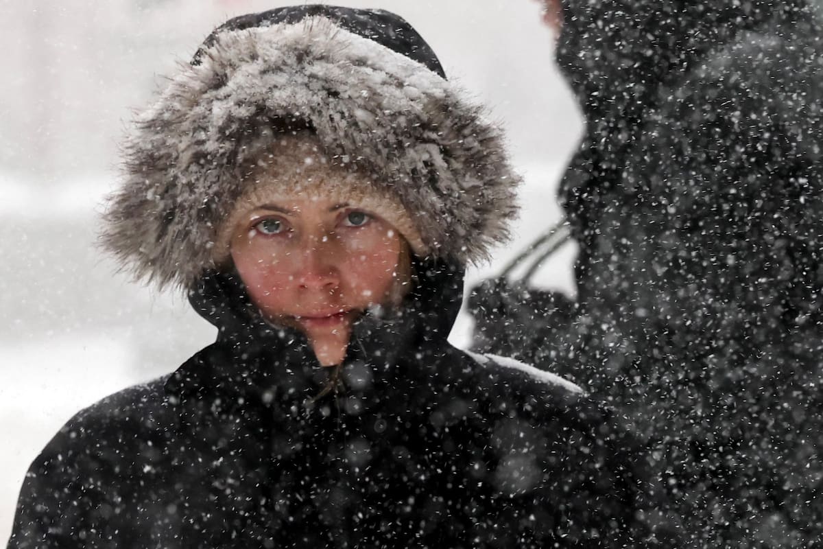
After several days of intense cold, Argentina is bracing for 48 hours of abrupt weather changes due to the advance of a new polar air mass. The phenomenon will maintain low temperatures, favor widespread frost, and cause rain, snow, and wind gusts of up to 90 km/h in different parts of the country.
The National Meteorological Service (SMN) maintains active warnings for precipitation, wind, snow, and extreme cold in several regions. Although temperatures will begin to recover slowly toward the second half of the week, the environment will remain fully wintry.
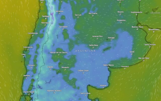
The intense polar air intrusion that dominated much of the country in recent days will begin to gradually lose strength, but relief will be slow. Monday’s early morning will again see temperatures near or below 0°C in large areas of the Pampas region, Cuyo, and Patagonia, where frost will be widespread. Even in some sectors of northern Argentina, values lower than usual for this time of year could be recorded.
Starting Tuesday, a gradual change will begin with the influx of north wind, favoring a slow thermal recovery, although mornings will remain very cold. While the center and north of the country will have mostly stable conditions, Patagonia will concentrate the most significant weather phenomena.
The advance of a cold front will cause persistent rain over Santa Cruz and Tierra del Fuego, as well as snow in various mountainous sectors. According to warnings issued by the SMN, precipitation could exceed 15 millimeters in some areas. Wind will be another protagonist: gusts could reach between 70 and 90 kilometers per hour in the southernmost part of the country and also affect the Malvinas Islands area.
Between Monday and Tuesday, precipitation will begin to spread toward the Chubut mountain range, then advance over sectors of Río Negro and Neuquén. Additionally, between Tuesday and Wednesday, rain and snow cannot be ruled out even in lower areas of those Patagonian provinces.
The SMN warnings show different active phenomena for the coming hours. For rain, a yellow alert is in effect for sectors of southern Santa Cruz and Tierra del Fuego, where persistent precipitation is expected. The Santa Cruz mountain range remains under a snow alert, with accumulations that could hinder circulation. A warning for intense winds also remains in effect for much of southern Santa Cruz, with gusts that could approach 90 km/h.
At the same time, the agency maintains an alert for extreme cold temperatures covering sectors of Buenos Aires province, Entre Ríos, Santa Fe, Córdoba, San Luis, Mendoza, Catamarca, Tucumán, and other central and northern provinces, where low temperatures can pose a risk especially for vulnerable groups. Don’t let your guard down—the polar cold is still fighting!


che lo unico q falta es q el capitalismo nos congele a todos mientras los ricos se calientan con la plata para mi estas heladas son culpa del cambio climatico d las corporaciones no del pueblo vamos a tomar el palacio d la nieve carajo firmado el comandante tormenta
Para mí esto es el cuento del calentamiento global que nos quieren meter los zurdos. Mientras ellos lloran, la Patagonia se congela con 90 km/h de viento y nieve. ¡El frío es natural, lacras! Abajo el verso climático. Firmado: @Panza_Llena_Corazon_Vacio