
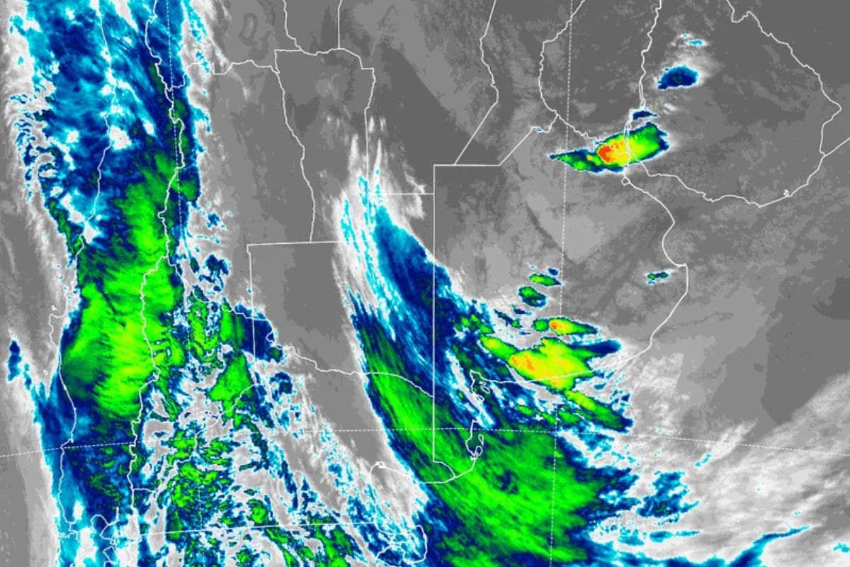
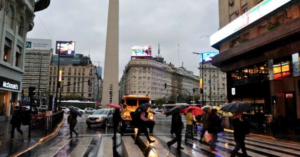
The National Meteorological Service (SMN) activated yellow and orange alerts for storms for this Friday, July 31, in the Buenos Aires Metropolitan Area (AMBA) and in several central provinces of the country. According to the agency, precipitation will begin during the morning and will extend, with varying intensity, until the morning of Saturday, August 1. The most critical period would be concentrated between Friday afternoon and night, with a probability of storms of up to 100%.
What the forecast says for the AMBA
For the City of Buenos Aires and the suburbs, the SMN forecasts a minimum temperature of 14°C and a maximum of 21°C. During the morning, the probability of precipitation is between 40% and 70%, with isolated storms. In the afternoon, the probability remains at 70% and storms would be strong. At night, the percentage rises to between 70% and 100%, with storms that could be severe.
Winds will blow from the north at a speed of between 23 and 31 km/h, with gusts of 42 to 50 km/h. However, in areas under orange alert, gusts could exceed 90 km/h, as warned by the SMN. Heavy rainfall in short periods, intense electrical activity, and possible hail are also expected.
Scope of the alerts: which provinces are affected
The orange alert for storms applies to the AMBA, Entre Ríos, and Santa Fe. In those areas, accumulated precipitation of between 40 and 80 millimeters is expected. Meanwhile, Córdoba, Corrientes, La Pampa, and Santiago del Estero are under yellow alert, with accumulations of between 30 and 50 millimeters, although they could be exceeded locally.
The yellow alert implies storms with intense electrical activity, wind gusts, and occasional hail. The orange alert, on the other hand, indicates more severe phenomena, with risk of damage and disruption of daily activities.
Documented timeline of the event
- Friday, July 31, morning: Isolated storms are expected with a probability of precipitation of 40-70%. Winds of 23-31 km/h with gusts of 42-50 km/h. Temperature around 14°C.
- Friday, July 31, afternoon: Storms intensify and become strong. Probability of rain up to 70%. Maximum of 21°C. Gusts of 42-50 km/h continue.
- Friday, July 31, night: Most critical period: probability of storms 70-100%. Possibility of hail, gusts that could exceed 90 km/h in orange alert areas. Temperature drops to 18°C.
- Saturday, August 1, early morning and morning: Storms continue with a probability of 40-70%. Gradual improvement towards the afternoon, with a probability of rain of 0-10% and temperatures of 14-19°C.
- Sunday, August 2: Partly cloudy sky, no rain. Marked thermal drop: minimum of 10°C and maximum of 15°C.
Official SMN recommendations
Given the forecast of strong storms, the SMN issued a series of recommendations to reduce risks: stay in closed places, stay away from doors and windows, avoid flood-prone areas, secure objects that could be displaced by wind, unplug appliances if water enters, and prepare an emergency kit with water, food, battery-powered radio, and flashlight.
Value module: comparison of precipitation probabilities
Document: SMN forecast published on July 31, 2026 (according to sources). Agency and date: National Meteorological Service, July 31, 2026. Unit: percentage probability of precipitation. Values used: morning 40-70%, afternoon 70%, night 70-100%, early Saturday morning 40-70%. Operation: ranges are compared to identify the moment of highest probability. The denominator is the total number of periods in the day (morning, afternoon, night, early morning). The night presents the highest range (70-100%), indicating the peak of instability.
What to follow
It is recommended to monitor the evolution of SMN alerts, especially if updates occur during Friday afternoon. It is also important to pay attention to very short-term warnings (nowcasting) that the agency issues when severe storms form, as they may modify the forecast conditions.
Fuentes consultadas
El Sereno contrastó las fuentes enlazadas y añadió contexto, comparación o análisis documental. Las fuentes primarias están identificadas. La nota no se presenta como investigación de campo ni como entrevista propia, salvo indicación expresa.


Comentarios